
P.A.T.Kurera
Team lead

Bringing space to life through creative solutions and immersive web experiences.
We are a team of six undergraduates from the University of Colombo and the University of Peradeniya in Sri Lanka.
Team lead





Every number MOONbound shows starts with NASA measurements. Here is what comes from NASA data, and what each piece drives in the tool.
JPL DE440 ephemeris · NAIF SPICE
We turned JPL’s planetary ephemeris into an hourly table from 1 Jan 2026 to 1 Jan 2031. Each row says where the Sun and Earth appear from the Moon, corrected for light travel time, plus Earth’s tilt and rotation and the orientation of the star sphere.
de440.bsp planetary ephemerismoon_pa_de440_200625.bpc lunar orientation
moon_de440_220930.tf Moon-fixed frame (MOON_ME)
pck00011.tpc planetary constantsnaif0012.tls leap secondsLRO laser altimeter (LOLA) · Cesium Moon Terrain
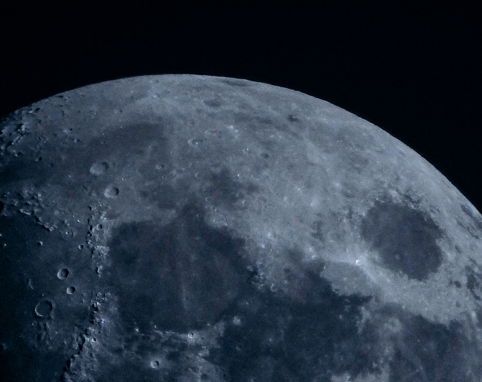
The 3D Moon is built from LRO’s laser altimeter. For every site we scan the terrain in 360 directions, up to 500 km out, to trace the skyline. That skyline decides when a ridge shadows the Sun or hides Earth.
LRO camera team (LROC) · NASA mission records
Of our 139 sites, 38 use positions the LRO camera team measured in orbital images: landers, rovers and impact craters, some found decades after the mission. The list also covers NASA’s nine Artemis candidate regions near the south pole.
LRO, Apollo, Lunar Orbiter, Surveyor, Ranger · JPL Photojournal
Roughly 70–80 of our 107 site images are NASA’s: LRO camera and LOLA views, Apollo photography, early probe images and JPL Photojournal releases, all taken from Wikimedia Commons.
NASA Earth Observatory · Blue Marble Next Generation
The Earth you see above the horizon wears NASA’s Blue Marble base map at 21600 × 10800 pixels. It turns and changes phase to match the ephemeris.
NASA/Goddard Space Flight Center Scientific Visualization Studio
The Milky Way backdrop is Deep Star Maps 2020, which plots about 1.7 billion stars from the Hipparcos-2, Tycho-2 and Gaia DR2 catalogues (Gaia DR2: ESA/Gaia/DPAC).
NASA Deep Space Network · Handbook 810-005
We show NASA’s three DSN complexes (Goldstone, Madrid and Canberra) and which of them can see the Moon above a 10° elevation mask. Together they cover it about 98.4% of the time, with gaps of 1–2 hours.
NASA SORCE mission · total solar irradiance
Solar power starts from the solar constant, 1361 W/m², as measured by SORCE. We scale it by the Sun’s real distance from the DE440 ephemeris.
NASA data is not the whole story. These agencies, datasets and tools fill in the rest.
Claude helped with planning, the Blueprint instructions, the Python scripts (ephemeris table, star field, site list) and the site descriptions.
MOONbound is a NASA Space Apps Challenge project. NASA does not endorse it.
Explore lunar terrain, visualize sunlight and Earth visibility, and discover better landing opportunities for future Moon missions.